

Geophysical Site Investigations
Our comprehensive suite of solutions for geophysical and hydrographic surveys and site investigations comes from decades of in-house expertise. We integrate a vast range of state-of-the-art technology to deliver precise geophysical information to de-risk, minimise delays and reduce costs in the design and engineering of your project.
Geophysical Survey
Our comprehensive suite of solutions for geophysical and hydrographic surveys and site investigations comes from decades of in-house expertise. We integrate a vast range of state-of-the-art technology to deliver precise geophysical information to de-risk, minimise delays and reduce costs in the design and engineering of your project.
Marine spatial data solutions for your toughest challenges
For years, we've delivered a diverse range of geophysical and geospatial surveys in the marine environment. We specialise in helping our clients attain precise spatial data collection. Tell us about your challenges, and we'll help you find the perfect solution.
Our growing team has extensive in-house experience in nearshore and offshore environments. We can operate from our own dedicated survey vessel, MV Flatholm, or work seamlessly from suitable third-party vessels, whatever best fits your project needs.
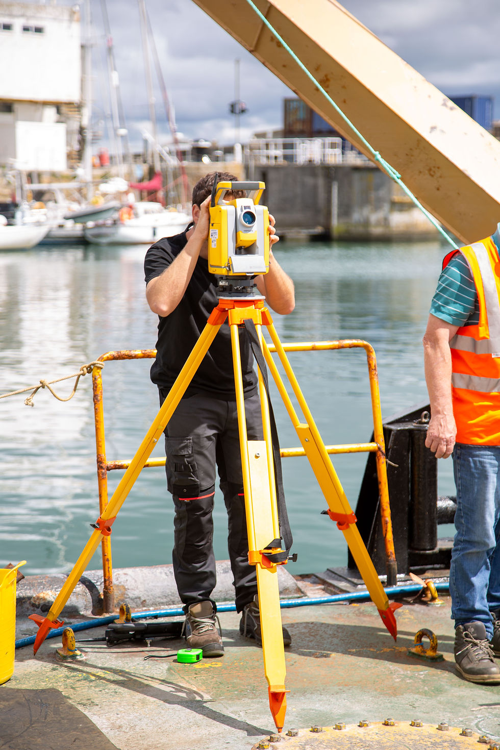
Tailored marine surveys
At CMS GeoScience, we don't believe that one-size-fits-all. We offer a customer-designed service, from simple vessel charter to comprehensive marine geophysical surveys. We combine our core equipment with specific hired-in equipment to meet your exact requirements. Get a solution tailored to your project, not constrained by standard packages.
We excel at finding unique solutions for even the trickiest and most unusual survey scenarios. Our agile and inventive approach helps us solve your data collection problems. Whether you need bathymetry, habitat mapping, sub-surface imaging, oceanographic data, or anything else, we're ready to listen and develop the right solution for you.
Unlocking efficiency: geophysical & geotechnical integration
Combining the geophysical and geotechnical strengths of CMS GeoScience is a winning formula, especially when achieved from a single vessel. This approach offers significant savings by avoiding multiple vessel mobilisations. For instance, the MV FlatHolm has successfully performed vibrocoring, ROV inspection, cable burial depth surveys, and MBES Bathymetry seamlessly on a single project, proving true project efficiency.

Our geophysical equipment range
At CMS GeoScience, we offer a comprehensive suite of cutting-edge equipment to meet the diverse needs of your marine and coastal projects. Our meticulously maintained and certified instruments ensure accuracy, reliability and optimal performance on every survey.
Hydrographic survey systems
From detailed bathymetric mapping to precise feature detection, our range of echo-sounders delivers exceptional data quality. We offer:
-
Single and Dual-Frequency Single-Beam Echo-Sounders: Ideal for focused depth measurements.
-
Single or Dual-Head Multi-Beam Echo-Sounders: Providing wide-swath, high-resolution seafloor mapping.
-
Interferometric Sounders: For detailed acoustic imagery and bathymetry.
Examples: Odom Hydrotrac and Echotrac, Reson T20/T50, Kongsberg EM2040, GeoSwath 500 kHz, Edgetech 6205
High-resolution side-scan sonars
Our advanced side-scan sonars are perfect for target identification, search and rescue, and detailed seafloor imaging. We provide:
-
High-Resolution Side-Scan Sonars: Optimised for precise object detection.
-
Simultaneous Dual-Frequency Side-Scan Sonars: Offering enhanced target discrimination and data richness.
Examples: GeoScan 2491, Edgetech 4200
Magnetometers
Detect and map ferrous anomalies with our versatile magnetometer systems, suitable for various survey environments.
-
Single or Multiple Arrays of Towed Magnetometers: For efficient coastal and nearshore surveys.
-
Hand-Carried Magnetometers: Perfect for intertidal and shallow water projects.
Examples: Geometrics G882, Marine Magnetics SeaSPY 2
Acoustic sub-bottom profilers
Gain invaluable insights into the subsurface geology with our range of sub-bottom profilers, including parametric echo-sounders for enhanced penetration and resolution.
Examples: Applied Acoustics Surface Tow Boomer/Sparker with CSP300 power supply and hydrophone, Innomar SES-2000 compact
Precision positioning systems
Achieve unparalleled positional accuracy for all your marine operations with our sophisticated positioning solutions.
-
Roaming RTK Systems: For real-time kinematic accuracy.
-
Fully Integrated Inertial Navigation Systems: Ensuring robust and precise positioning, even in challenging environments.
-
Sub-Sea Positioning via Ultra Short Baseline (USBL): For accurate underwater asset tracking.
Examples: Trimble R12i with VRS correction, POSMV, Applied Acoustics Easytrak Nexus, Sonardyne Mini Ranger 2
Oceanographic instruments
Measure and monitor key oceanographic parameters with our reliable suite of instruments.
-
Acoustic Doppler Current Profilers (ADCPs): For detailed water current measurements.
-
Ancillary Sensors: Including tide gauges and sound velocity profilers for comprehensive environmental data.
Examples: RDI Workhorse Sentinel ADCP 300/600 or 1200 kHz, Valeport 740 Tide Gauge, Valeport Monitor Sound Velocity profiler and Mini SVS
.jpeg)
